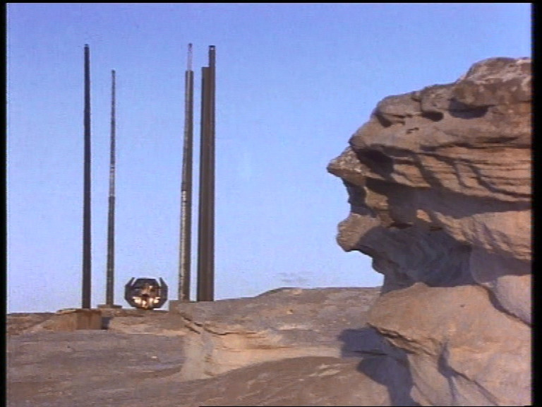

This is the shot from the series:

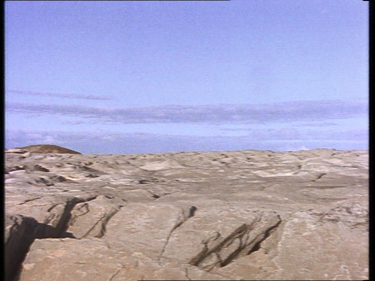
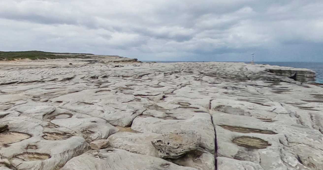
And this is the panorama in a slightly different direction; I created it manually, putting pieces of different TV shots next to each other:
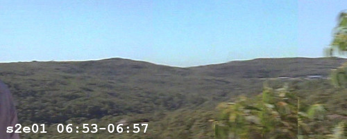
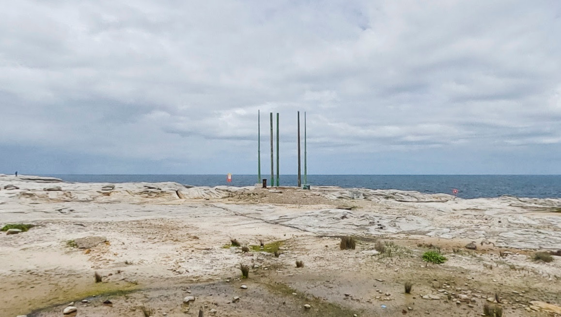
Now look at this picture!
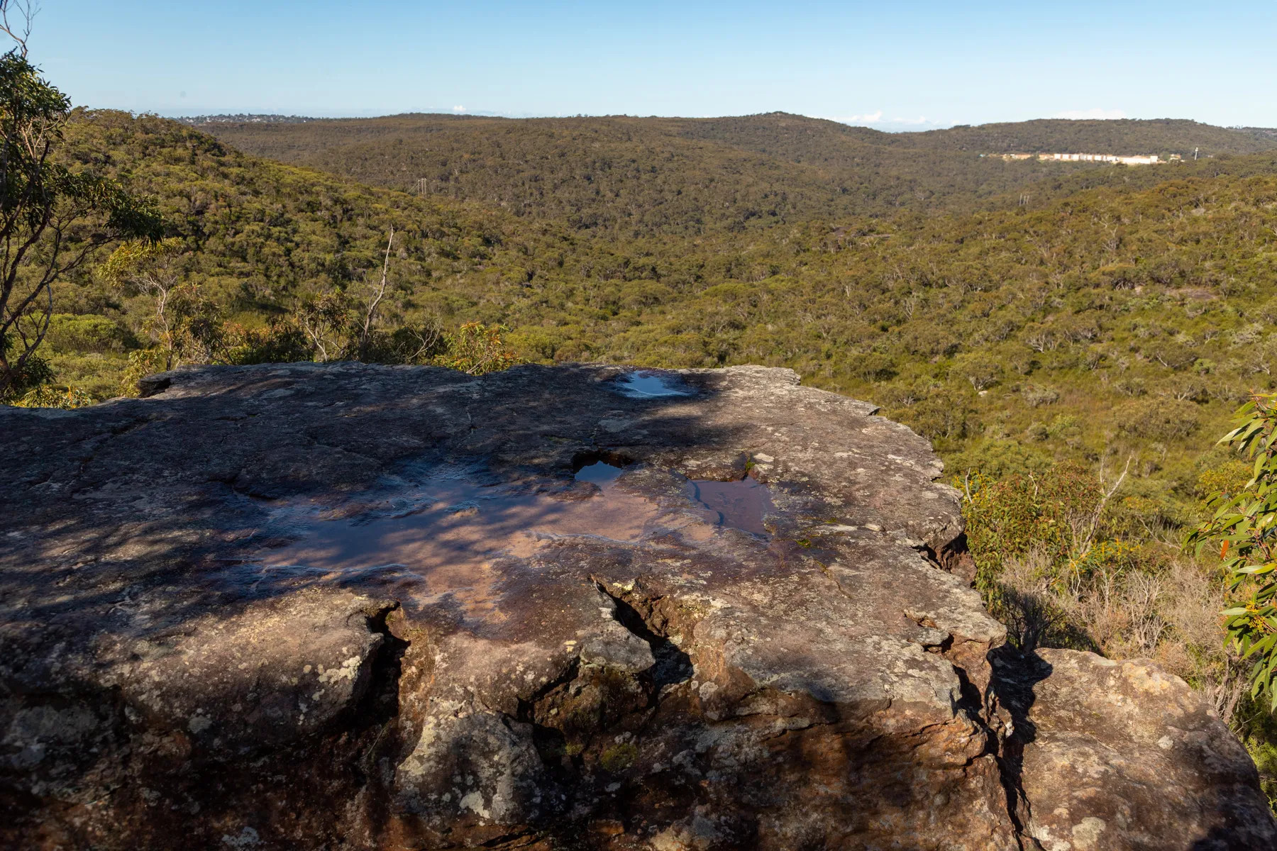
source: https://hikingtheworld.blog/2020/07/18/ ... arigal-np/
It is exactly that place! The contours of the rock outcrop and the hills are the same!
Unfortunately I am not able to specify coordinates. However, this place is at the Slippery Dip Loop trail, the Garigal National Park. This trail is described here in detail (note a good map!). It's only 10 km long, and one needs just 3-4 hours to complete it. I'm pretty sure it's quite easy to find this rock outcrop when hiking along this loop trail. The starting point is at -33.721493, 151.230713.
Hopefully someone will get there one day and find this exact rock outcrop!